Physical Address
304 North Cardinal St.
Dorchester Center, MA 02124
Physical Address
304 North Cardinal St.
Dorchester Center, MA 02124

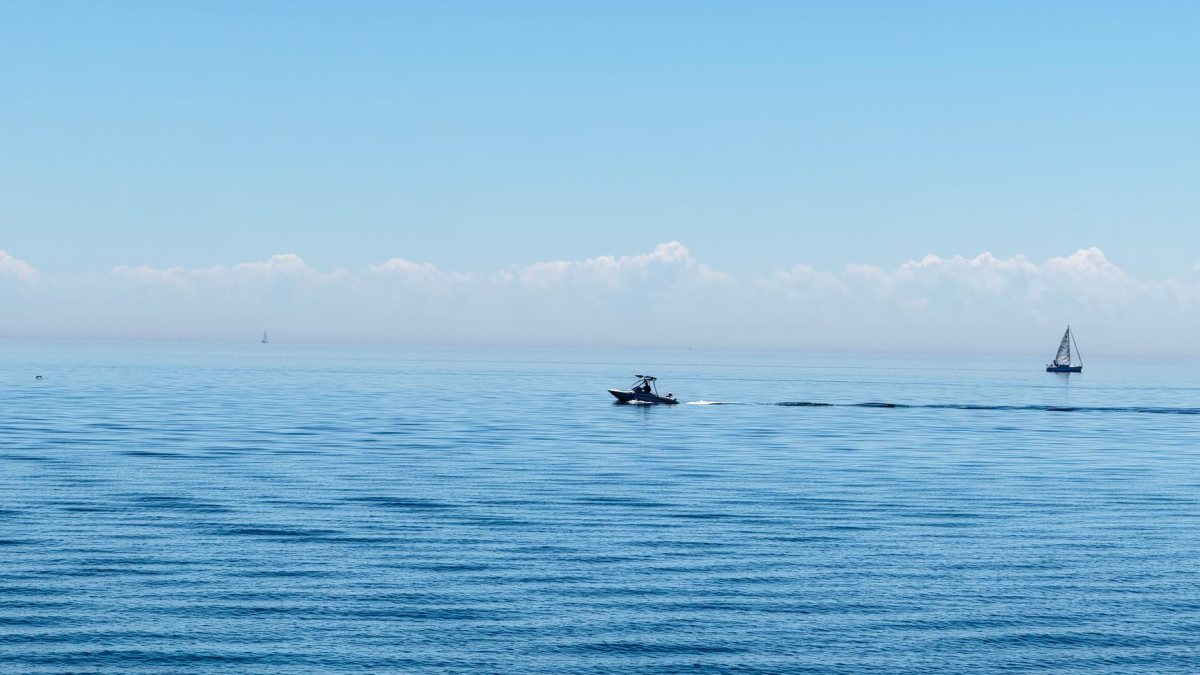
Federal forecasters have begun updating regional descriptions and mapping references across the Great Lakes to improve precision and modernize naming conventions.
Federal meteorological authorities in the United States have initiated subtle adjustments to regional marine forecasts and mapping tools covering the Great Lakes system. The updates reflect ongoing efforts to modernize official hydrographic references and ensure that public alerts align with standard geographic databases.
While marine navigational charts and local public forecasts have long relied on traditional zone definitions, meteorologists are refining how specific sub-basins, coastlines, and open-water sectors are designated. The phased transition aims to bring greater geographic clarity to commercial mariners, coastal communities, and emergency responders who rely on accurate marine bulletins.
The National Weather Service routinely maintains thousands of localized forecast zones, spanning from open oceans to inland waterways. Within major water bodies like Lake Ontario, standard weather forecasts are divided into distinct coastal strips, nearshore waters, and open-lake sectors to account for rapidly shifting microclimates.
Recent adjustments focus on refining naming conventions in textual bulletins, graphic map overlays, and digital data feeds. By clarifying sub-regional boundaries and matching modernized federal naming guidelines, forecasters can issue more targeted advisories, such as gale warnings, freezing spray advisories, and high-wave alerts, without ambiguity regarding which shorelines are impacted.
Maritime operations on inland seas require precise coordination between multiple domestic and international bodies. Changes in terminology often follow broader federal standardizations overseen by national geographic boards and cartographic agencies.
Modifications to established geographical names and forecast boundaries in the United States typically follow structured administrative workflows. Federal agencies collaborate with the U.S. Board on Geographic Names, local stakeholders, and partner organizations before rolling out changes to public-facing documentation.
Once a naming adjustment or boundary realignment is approved, technical teams gradually update automated forecast text generators, radar display systems, and archival databases. This gradual rollout prevents software conflicts and allows shipping operators and broadcast meteorologists sufficient time to adapt their internal workflows.
For commercial shipping freighters transporting iron ore, grain, and general cargo, precise marine forecasts are vital for fuel efficiency and route planning. Weather conditions on large inland bodies of water can deteriorate rapidly, producing steep waves and blinding squalls that rival coastal ocean conditions.
Local recreational boaters and anglers also depend on localized nearshore advisories during the spring and summer months. Officials note that while underlying meteorological modeling remains the same, the refined labels will make it easier for casual water users to understand exactly where hazardous conditions are expected.
No. Meteorological models, data collection methods, and severe weather thresholds remain unchanged; the modifications focus exclusively on naming conventions, geographic clarity, and map presentations.
Electronic chart displays and standard marine radios will continue operating normally, though software and mapping services will reflect updated zone terminology during scheduled data refreshes.
Federal meteorological authorities periodically review and standardize geographic references across all marine zones, coastal areas, and inland river systems to keep pace with modern cartographic standards.
The updated naming conventions and map references across federal Great Lakes forecasts represent a routine, technical modernization designed to enhance clarity. By standardizing marine terminology, forecasters aim to provide clearer warnings for commercial transport, cross-border partners, and coastal communities.
Reference: This report was compiled from publicly reported information. Original coverage: USA Today.
Photo: Abhilash Venkat / Pexels