Physical Address
304 North Cardinal St.
Dorchester Center, MA 02124
Physical Address
304 North Cardinal St.
Dorchester Center, MA 02124

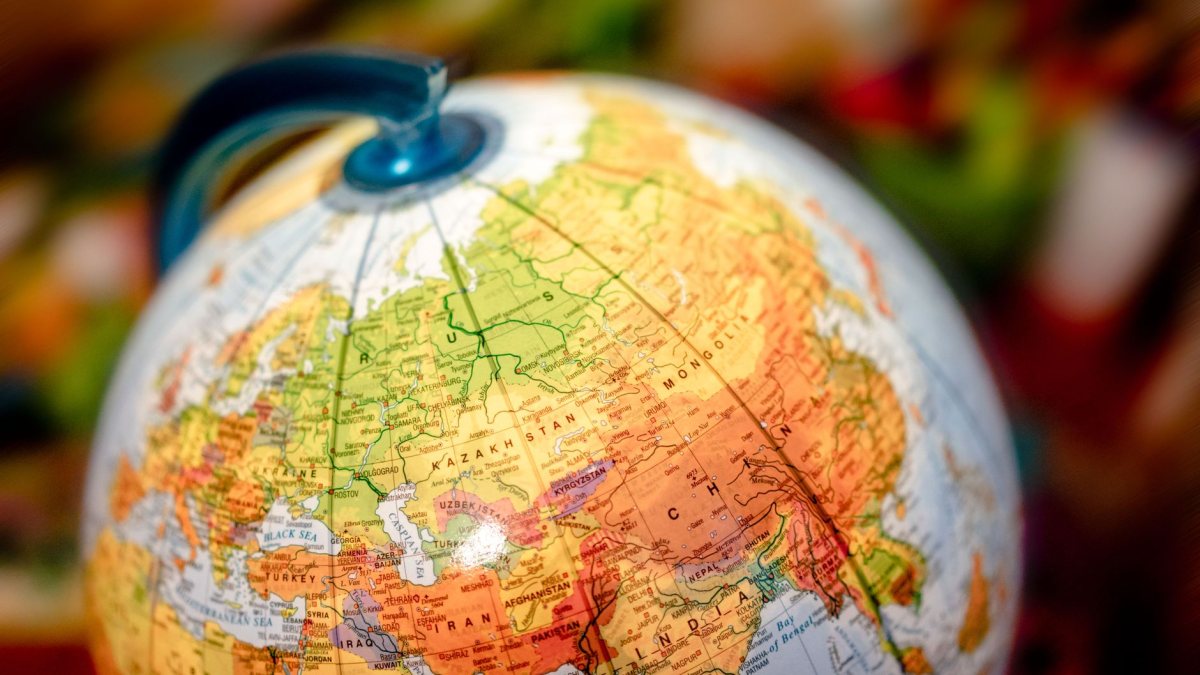
A look at the geopolitical sensitivities surrounding United Nations cartography and why nations like Japan, India, and Ukraine closely monitor border depictions.
Cartography has long been a quiet but fierce battleground in international diplomacy. When the United Nations or its specialized agencies update their official maps, the changes are rarely seen as mere technical adjustments. Instead, they are scrutinized by governments worldwide as indicators of shifting political recognition and sovereignty.
For nations with active territorial disputes, such as Japan, India, and Ukraine, how borders are drawn on the global stage is a matter of national security and pride. A single dotted line or a bilingual label can trigger formal diplomatic protests, revealing the deep-seated anxieties of countries striving to protect their territorial integrity in an increasingly unstable geopolitical climate.
The United Nations produces maps for various administrative, peacekeeping, and statistical purposes. While the UN officially maintains that its maps do not imply official endorsement or acceptance of boundaries by the organization, member states view these documents as highly influential. A map published by a UN body carries a veneer of international authority that can be used to legitimize or challenge territorial claims.
For countries facing external threats to their borders, any depiction that deviates from their constitutionally claimed territory is met with immediate concern. Diplomatic missions in New York and Geneva constantly monitor these publications to ensure their national positions are not compromised or misrepresented to the international community.
For Tokyo, map accuracy is a highly sensitive issue, particularly regarding the Northern Territories—four islands off Hokkaido occupied by the Soviet Union at the end of World War II and claimed by Japan. Japan also remains vigilant about the representation of the Senkaku Islands in the East China Sea and the Takeshima islets.
Japanese officials routinely engage with international organizations, publishers, and tech giants to ensure that maps reflect Japan’s official positions. When international bodies use Russian names for the Northern Territories or depict them as undisputed Russian territory, it triggers swift pushback from the Ministry of Foreign Affairs. In the Japanese context, cartographic precision is directly tied to the long-term goal of negotiating the return of these territories.
The sensitivity over maps is shared globally, with India and Ukraine representing two of the most prominent examples of cartographic vigilance.
To avoid constant diplomatic friction, the United Nations Cartographic Section follows specific guidelines established by the Secretariat. When dealing with disputed areas, the UN typically employs several cartographic conventions:
First, they often use broken or dashed lines to represent boundaries that are not internationally agreed upon or are actively contested. Second, they frequently include explicit disclaimers stating that the designations employed do not imply the expression of any opinion whatsoever on the part of the UN Secretariat concerning the legal status of any country or territory. Despite these disclaimers, the visual impact of a map often speaks louder to the public than the fine print beneath it.
The UN must update its maps to reflect geopolitical realities on the ground, such as the creation of new states, changes in administrative divisions, or the deployment of new peacekeeping missions. These updates are necessary for operational efficiency, even if they occasionally spark diplomatic friction.
When an international organization or foreign government publishes a map that contradicts Japan’s territorial claims, the Ministry of Foreign Affairs typically lodges a formal protest. Japanese diplomats present historical and legal evidence to request a correction or the inclusion of Japan’s official stance.
No, a UN map does not have the legal authority to alter national borders or sovereignty. Territorial sovereignty is determined by international law, treaties, and bilateral agreements. However, UN maps carry significant political weight and can influence global public perception.
For Japan, India, and Ukraine, maps are not just geographic tools; they are assertions of sovereignty and national identity. As geopolitical tensions rise globally, the battle over lines on a map will remain a critical, albeit quiet, front in international diplomacy. Governments will continue to scrutinize every update from the United Nations, knowing that in the arena of global opinion, visual representation can be as powerful as legal arguments.
Reference: This report was compiled from publicly reported information. Original coverage: Al Jazeera.
Photo: Atlantic Ambience / Pexels